Once you’ve gone through the Panama Canal, there are some options. Some cruisers head north to Hawaii or the Sea of Cortez. A few head south along the coast of South America. But most follow the trade winds to the South Pacific.
Provisioning
It’s peak season for cruisers preparing to cross the Pacific. When we called to reserve a marina slip, the answer was no. Connections help in Panama as elsewhere. Our agent’s call quickly turned no to yes. After exiting the canal on February 24, we headed right to the last available slip.
After months in the provinces, we’re grateful for conveniences of the big city. Chandleries in Panama City are well stocked. Freight forwarding services quickly import from the States the last minute parts we couldn’t find locally. A Panamanian version of Costco sells cases of diced tomatoes, UHT milk, and big blocks of cheese, among other galley staples. A supermarket chain catering to expat tastes stocks many of the specialty items we gringos miss when we’re away from home.

We watched Windhorse’s waterline sink lower as each cart load of provisions was transfered onboard. We’ve never had the boat this loaded before, and we’re a bit concerned to see the bottom of the bootstipe slowly sink below the surface. Being so heavily loaded will be okay, but won’t help with speed.

Tyrone helped us get the boat in shape, servicing the winches, tidying lines, and giving everything a much appreciated fresh eyes review before he returned home to Florida to work on his own boat.
A Small Change of Plans
It’s said that sailors should develop detailed plans and write those plans in sand at low tide. We had been planning to take the Pacific road less traveled to the south, stopping at Easter Island and Pitcairn Island on the way to the Gambiers in French Polynesia. When we started thinking about our plans last summer, our idea was to visit these remote island in February when weather conditions there would be best for sailing and anchoring.
The problem at Easter Island and Pitcairn is the lack of protected anchorages. There’s no place to seek shelter when seas get rough, and getting ashore even in good conditions can be challenging. We’re running behind schedule enough that we wouldn’t get to Easter Island until April, when early winter storms already start having an impact on these islands.
Pilot charts give us monthly historical average ocean winds around the world. For Easter Island in February, winds are generally light and easterly, which is good for the main anchorage on the west side of the island. April looks a little different. Winds are higher and more likely to come from other directions. Any winds above 15 knots would make anchoring uncomfortable and going ashore treacherous.


So with a bit of disappointment, we’re choosing to go directly to the Marquesas instead. Not that this can be called a disappointment—the Marquesas have enchanted sailors for centuries. We could still change our minds; the paths don’t diverge until we get south of the equator.
Setting Sail
It’s a long way across the Pacific Ocean. The trade wind route to the Marquesas in French Polynesia is nearly 4,000 nautical miles. The voyage in a sailboat can take four to six weeks, possibly more. That is four times longer than our Caribbean crossing. It will likely be the longest nonstop passage we ever make, even if we go all the way around the world.
We cast off from the marina late in the morning on Saturday, March 7. We motored past the small yacht anchorage, past the anchored ships awaiting canal transit, and across the shipping lanes leading to the canal. Once safely away from high high traffic areas, we hoisted sails and headed south through the Gulf of Panama.


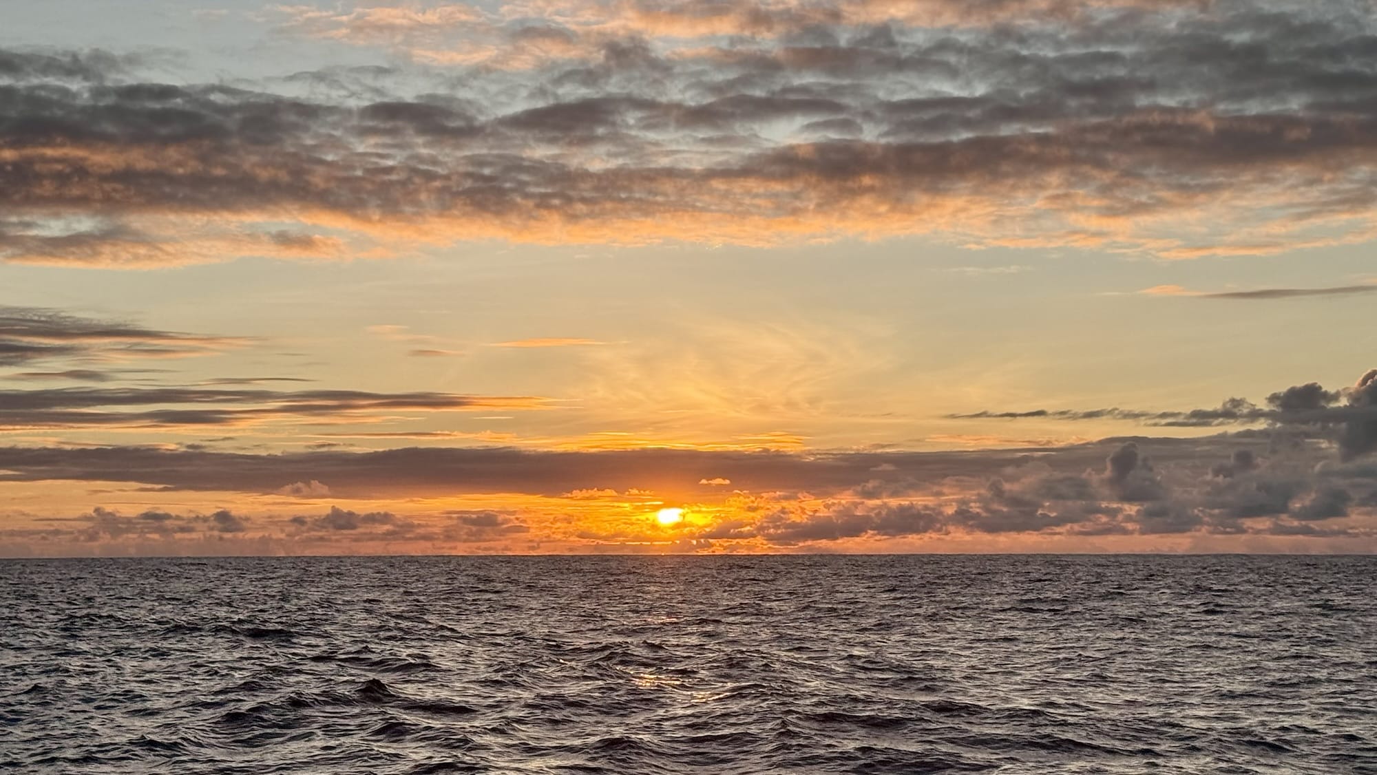
At night, before moonrise, long trails of bioluminescence sparkled in our wake. Later, a deep orange moon rose over the water. Brisk winds from the Caribbean blew across the isthmus, giving us perfect broad reach sailing conditions. In the dark early morning hours we had to cross a busy shipping lane for the last time. We likely will not see another vessel until we reach French Polynesia.
The second and third days continued to be nearly ideal. Except for a few lulls in the wind, we made good time and enjoyed the sail.

On Sunday afternoon we passed a massive pod of at least fifty dolphins. Later in the evening the winds died, leaving only a very gentle long period swell. We sat on the bow net gazing at the expanse of ocean.

Monday and Tuesday gave us light but still good winds and mostly clear skies. Temperatures are in the low 80s by day and upper 70s by night. It doesn’t get much better!
On a nighttime watch on Monday the stars were spectacularly bright. I noticed the Big Dipper behind me, much lower in the tropical skies than I am used to in Pennsylvania. The last two stars of the dipper’s bowl point to the North Star. This close to the equator the North Star is only a few degrees above the horizon, and on this night it was obscured by haze—useless for navigation. Looking south I saw for the first time the southern sky’s equivalent, the Southern Cross.
Noon-to-noon log (nautical miles)
Saturday 3/7 to Sunday 3/8: 140nm
Sunday 3/8 to Monday 3/9: 136nm
Monday 3/9 to Tuesday3/20: 133nm
Leave a Reply