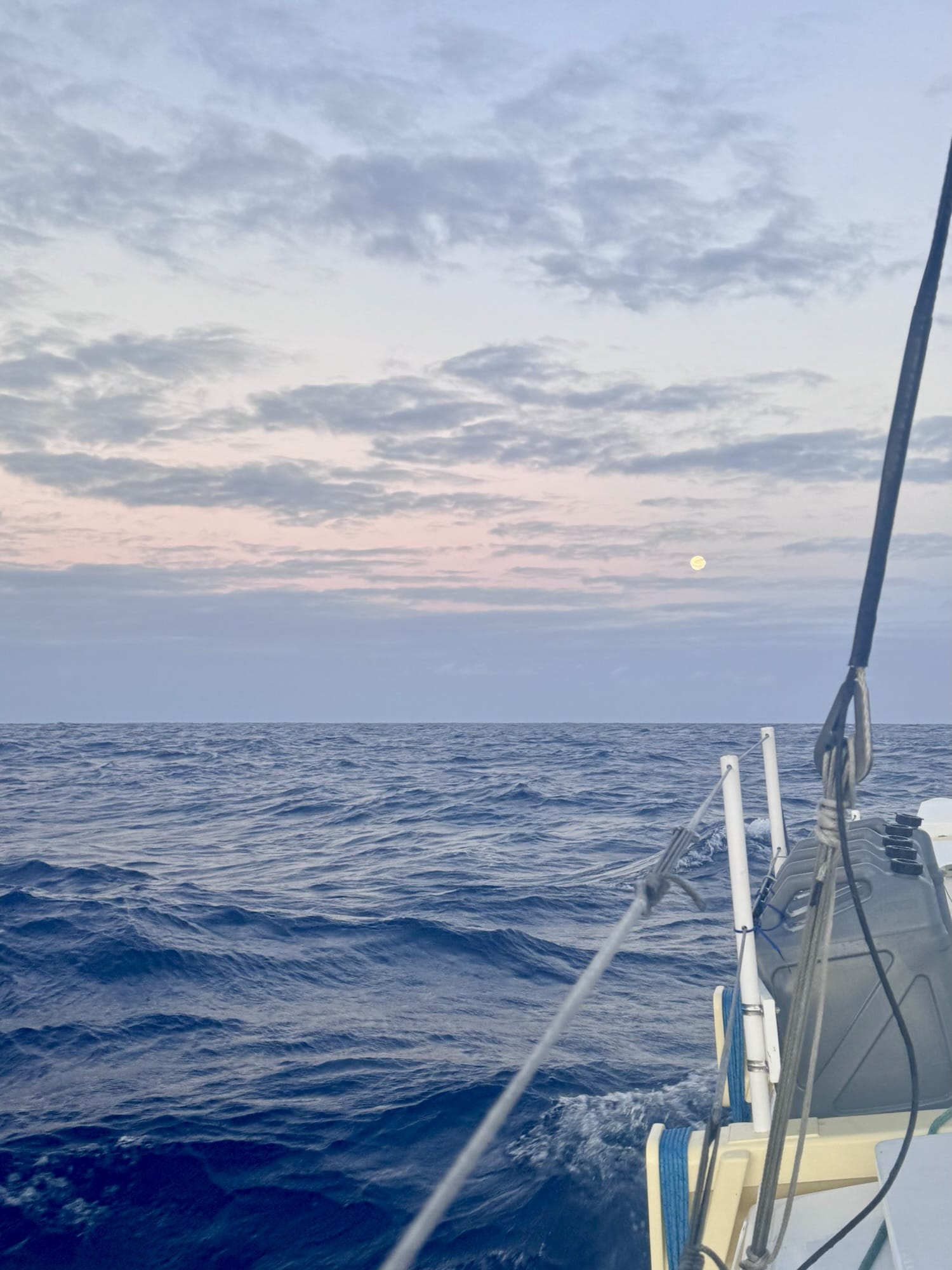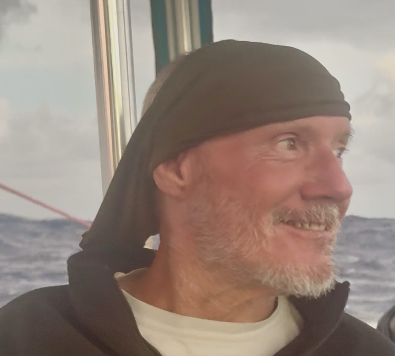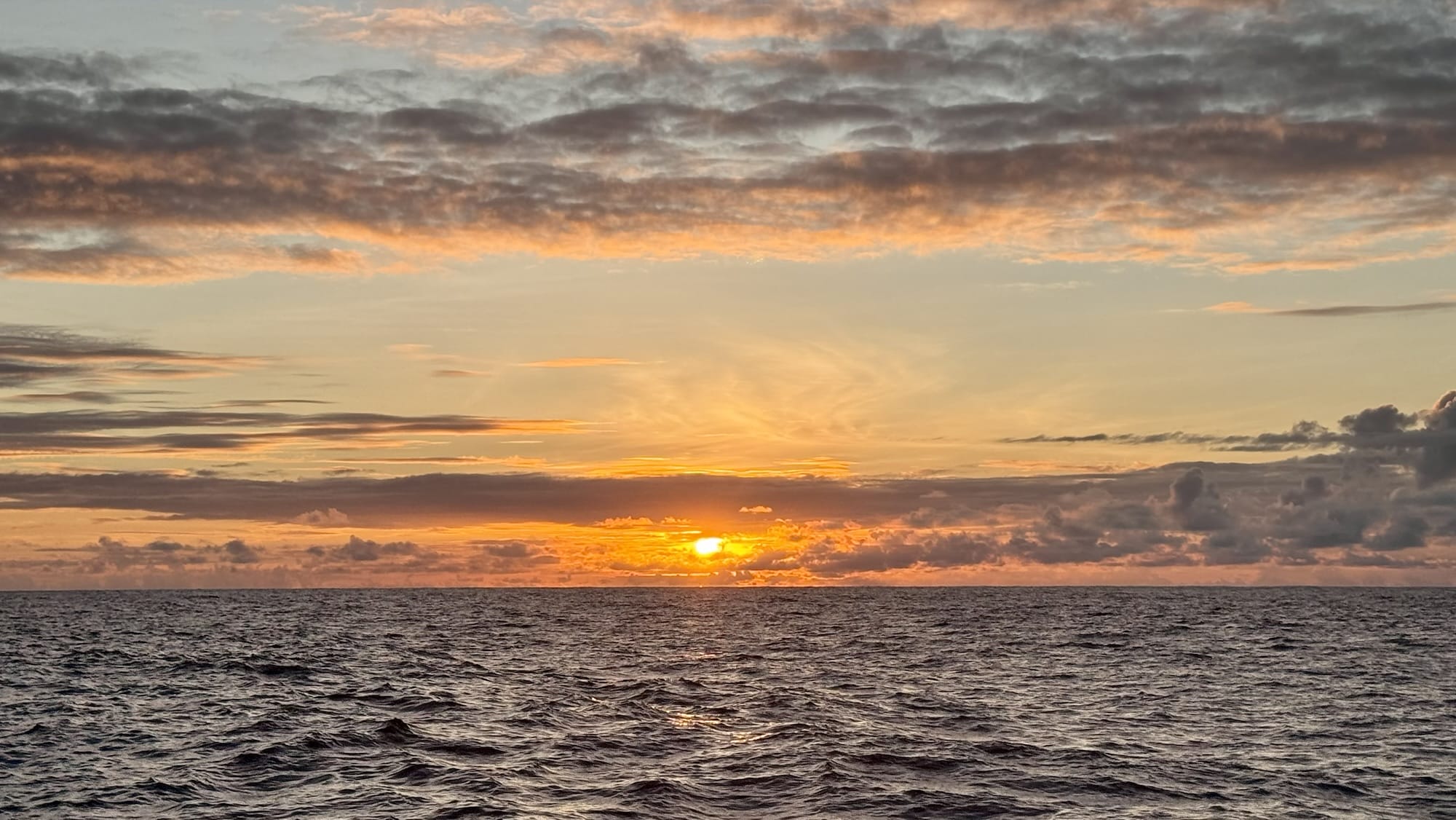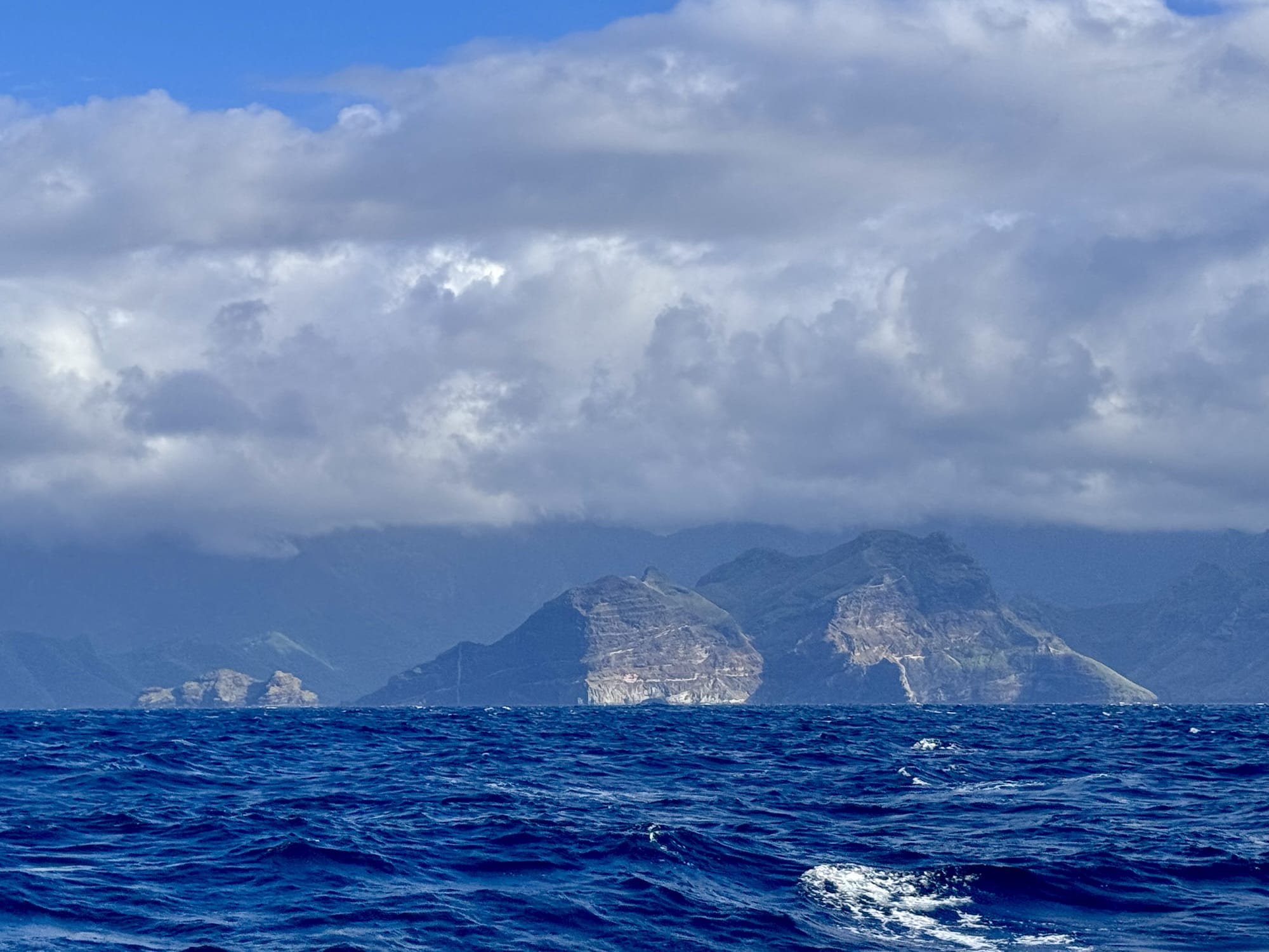
After 33 days and more than 4,000 nautical miles, we dropped anchor early in the morning of April 9 in Taiohae Bay on the island of Nuku Hiva in the Marquesas.
(more…)Author: Rob
-

Three Thousand Miles
It’s day 24 of our voyage across the Pacific Ocean. We’ve sailed more than 3,000 miles since we left Panama with just under a thousand left to go to our destination in French Polynesia.
This is usually an easy trade wind route, with favorable winds and currents most of the way.
They call this route the “coconut milk run,” and what a delightfully pleasant run it has been for us!
We’re sailing this route somewhat early in the season, before the trade winds are reliably established. We also had to cross hundreds of miles of the doldrums, an area of frequent squalls and slow going, or often no going at all.

We’re in the Pacific southeasterly trade winds. The band where the southeasterly and northeasterly trade winds converge near the equator is called the doldrums. Nevertheless we hit the jackpot of sailing conditions, a slow but steady and easy progression through the doldrums and a glorious, near perfect trade wind sail these past two thousand miles. We’ve been on a continuous port tack broad reach since rounding the Galapagos.
We’re not setting any speed records. We sail this boat’s conservative sail plan conservatively. We tuck in a reef whenever there is a risk of squalls, especially at night, and are slow to shake out the reef until we’re confident of prolonged good conditions.
We’ve encountered occasional light rain and a few minor squalls, mostly at night. For the most part we’ve had blue skies, cobalt blue water, heavenly temperatures, steady winds, and gently following seas. It doesn’t get much better than this. Our boat, with its double-ended canoe shaped hulls, handles the following seas with elegant seakindliness. We have to hold on tight and move around carefully when the waves are big, but much of the time the motion is so smooth it feels like we are riding a magic carpet.
Dreaming of Polynesia
Now that we’re in the home stretch, we have been thinking a lot about our destination. Polynesia has enthralled Westerners for centuries with its ruggedly beautiful verdant mountains and valleys, atolls of sparkling blue water, idyllic climate, and famously beautiful inhabitants. (To get a taste of the impression Polynesia made on Western adventurers, Herman Melville’s Typee, a first-hand account of living among the indigenous peoples, is a thrilling read.)
The geography of Polynesia is like no other on the planet. The Polynesian Triangle is a collection more than a thousand islands in the South Pacific with New Zealand at the southwestern corner, Easter Island to the east, and Hawaii at the northern point. The length of each side of the triangle is more than four thousand miles.

The Polynesian Triangle The first European to make contact with Polynesia was Álvaro de Mendaña de Neira in 1595. I won’t credit him with discovery, as the islands he found and named the Marquesas had already been inhabited by humans for centuries. Mendana sailed from Peru under the patronage of the Marquis de Canute, the Viceroy of Peru, for whom the islands were named.
By the time of the great explorer James Cook’s Pacific expeditions in the 1770s, the basic geography of Polynesia was well established. Thanks in good part to Cook, it was also basically understood that the inhabitants of the Polynesian islands shared a common genetic, cultural, and linguistic heritage. But that begged the great question of Polynesian origins. Who were these people? Where did they come from? How, why, and when did they come to occupy near every inhabitable island over an area of ten million square miles?
(If you find that question as intriguing as I do, the historiography of Polynesian origins is a fascinating read in Christina Thompson’s Sea People: The Puzzle of Polynesia.)
Drift or Sail?
Nearly everyone knows the story of Thor Heyerdahl’s Kon-Tiki expedition in the 1940s. Heyerdahl attempted to prove the plausibility of a popular theory of the time, that prehistoric explorers set out from South America on primitive rafts and drifted downwind to the islands of the South Pacific. He and his companions made it, barely, to an atoll in the Tuomotus archipelago of French Polynesia.
While this is a compelling adventure story, the premise of a drifting migration from the east contradicts a strong body of cultural, archeological, linguistic, and oral tradition evidence pointing to an origin in Southeast Asia. More recently, DNA analysis conclusively proves an Asian origin of the Polynesians.
But how did they get from Asia to the islands of the Pacific? Heyerdahl managed to drift across the Pacific (after being towed fifty miles away from the coast) thanks to prevailing trade winds and currents—the same forces that are giving us such a pleasant sail today. To get from the Asian continent to the Polynesian islands requires sailing upwind, against the trade winds and prevailing currents, across thousands of miles of open ocean. Western sailors didn’t develop the skills to do that until well into the modern era. These weren’t just random, lucky stunts either. Those early Polynesians managed to reach remote Pacific islands repeatedly in vessels big enough to transport whole villages with livestock.
The ancient Polynesians developed two great insights. The first was a remarkable collection of sensory and analytical skills that enabled them to navigate by sky and water, using and remembering all the clues provided by nature: movement of the sun, moon, and stars; patterns of waves and swell in the water; movements of birds and sea life; the smell of the air.
The second great insight concerned the form of sailing craft. The basic options for primitive, ancient mariners were rafts and canoes. Rafts were understood to be stable on the water but were slow and hard to maneuver. Canoes were fast and maneuverable, but lacked stability, especially in offshore ocean conditions. The ancient Polynesians had this insight: if you take two canoes, hold them separate but parallel with lashed poles, you create a double canoe craft that combines the stability of the raft with the speed and maneuverability of the canoe. This is what we would call a catamaran today.

An eighteenth century Hawaiian double canoe. Catamarans didn’t catch on in the West until the late twentieth century, but they were the critical innovation, along with sensory navigation techniques, that allowed the Polynesians to make the greatest of all migrations, the first major human migration not by foot, but by sea.
Westerners thinking about Polynesian origins had a hard time accepting the double canoe idea. Catamarans had been known in the West for some time. The British were introduced to the idea during their rule of India. The Tamil fishermen of northern India used two-hulled vessels; “catamaran” is the Tamil word for “boat.” Captain Cook found Polynesians using catamarans and other outrigger vessels during his expeditions in the eighteenth century. In 1876 the great American naval architect Nathaniel Herreshoff won the prestigious New York Yacht Club’s race with a catamaran of his own design—though he was later stripped of the prize on the grounds that his catamaran wasn’t a proper yacht.
So by the time of Thor Heyerdahl’s rafting expedition in the mid twentieth century, it was understood that catamarans could be fast and made acceptable craft for coastal fishing, but hardly anyone thought they were sufficiently seaworthy for long, offshore ocean passages.
Polynesian Double Canoes
And that brings the story much closer to home for Joe and me as we sail our James Wharram designed double canoe catamaran across the Pacific.
As a young man in England in the 1950s, James Wharram dreamed of exploring the world. He understood that he would need a boat, but didn’t have the money or skill to buy or build one following the traditional designs and boatbuilding practices of the day. He went looking for a different way to build an ocean-going sailing vessel. He found what he was looking for in a specimen preserved under a glass case in the British Museum in London. It was a twenty-two foot traditional Polynesian double canoe, very much like the kind Captain Cook would have seen in the Marquesas. Wharram believed firmly that if the Polynesians could sail these craft across oceans, so could he. Wharram built a scaled-up, adapted replica of the museum specimen using whatever materials he could scavenge and sailed his Polynesian-inspired catamaran across the Atlantic to Barbados. There, with the help of the famous French sailor Bernard Moitessier, Wharram built another, larger catamaran and sailed it back to England—the first successful trans-Atlantic crossings in catamarans. Wharram had proven the catamaran as a seaworthy form for ocean crossings.
Wharram spent the next sixty years designing and selling plans for Polynesian-style ocean-going catamarans. Thousands have been built over the years and continue to be built today. They are rarely seen in yacht clubs or fancy marinas, but they can be found in many of the world’s remote anchorages.

Wharram’s first catamaran, adapted from a museum specimen, ready to cross the Atlantic in 1955. When Joe and I went looking for a boat to sail around the world, the lore of Wharram’s designs and the offbeat community of Wharram sailors immediately caught our attention. The rugged simplicity and distinctive styling of these designs appealed to us.

A drawing of Wharram’s “Captain Cook” model. So in 2015, when we first formulated our five-year plant to quit work and sail the world, we bought the first full-sized Wharram catamaran that came up for sale within a thousand miles (or so) of our winter base in Florida. That boat happened to be a German-flagged 42-foot “Captain Cook” model named after the Polynesian god Mahuini. The owner had spent twelve years single-handing her around the world. He crossed his own wake in Antiqua on his seventieth birthday and put the boat on the market. It was near the end of March. Joe and I were getting ready to return to Boston to open our nursery business for the spring. We had just crossed the Gulf Stream to Florida after spending the winter in the Bahamas. With the first cellular signal in range near Miami, Mahuini’s for-sale listing popped up on my phone. We immediately flew to Antigua and agreed to buy the boat. Our five year plan was now firmly in motion. (There’s a lot of omitted detail here: how we arranged to get Mahuini from Antigua to Key West; how we sold our current sailboat at the time, the first Windhorse; and how we accomplished all of this in the course of a week so we could open the nursery more or less on time back in Massachusetts.)
Back to the Present
Our boat is inspired by Polynesian prototypes and ideas, but is built of modern materials and is equipped with the latest conveniences and navigation electronics. We have it very easy compared to those ancient Polynesian sailors, sailing their primitive catamarans upwind in difficult conditions without the benefit of even a compass.
Still, as I sit here writing this in the cockpit, on watch, I hear the groaning of the rope lashings that secure crossbeams to our canoe shaped hulls. I think constantly about the early voyages of the Polynesians, and of the way those voyages inspired the boat we are sailing on today. I like to think that our voyage to Polynesia in some small way pays humble homage to the greatest seafaring people in human history.
Day 18: 138 miles
Light rain overnight. Big following seas. At 8 degrees south latitude, running as far off the wind as we can under mainsail and genoa.
Day 19: 164 miles
Brisk broad reach sailing in winds just over twenty knots.
Day 20: 140 miles
Continued brisk broad reaching with genoa and first reef in main.
Day 21: 131 miles
Shook out the reef. East southeast winds near 20 knots under partly cloudy skies.
Day 22: 145 miles
Cloudy skies with convergence zone squalls overnight.
Day 23: 127 miles
Continued cloudy skies but no rain. East southeast winds in upper teens.
Day 24: 127 miles
More of the same.
Total: 3,022 nautical miles
-

Halfway
We reached the halfway point yesterday—more than 2,000 nautical miles sailed since we left Panama seventeen days ago. We celebrated with fresh baked brownies and whipped cream.
Boobies continue to entertain us with their posing and preening on the bow.

Lots of boobies We made VHF radio contact last night with another sailboat headed our way. We couldn’t see them, but they appeared on our electronic (AIS) system.

AIS tracks showing a parade of sailboats making their way to French Polynesia. We know from social sailing apps that perhaps two dozen other sailboats are on their way westward within a radius of several hundred miles from us. We haven’t seen any of them.
Sailing
Sailing has been brisk. Well developed ESE trade winds are blowing 20+ knots, giving us beautiful broad reach sailing as we head WSW toward the Marquesas. We are sailing under genoa and main, with a preventer rigged on the main. The autopilot steers to 138 degrees apparent, about as far off the wind as we can sail under this configuration in these seas.
We’re approaching 8 degrees south latitude. Hiva Oa, our destination, is at 10 degrees south. That allows us only 120 miles of southing over the next two weeks. With winds expected to back to due east next week, we’ll have to sail the last thousand miles dead downwind, not an easy point of sail.

Recommended weather routing from PredictWind, our online weather service. One option is to tack downwind with main and genoa or Code 0. That would add considerable distance to our journey. Another option is to sail under genoa or Code 0 alone. That would let us sail perhaps 160 degrees apparent, still requiring some tacking, but not as much. Another option is symmetrical spinnaker, which would allow dead downwind sailing. Because of its light construction and somewhat challenging handling, this is our least favorite sail offshore, at night, or where squalls are possible.
A final option, possibly our best bet, is to go wing-and-wing with twin headsails. That could be either genoa and staysail, easy because both are on furlers, or genoa and Code 0 hanked on to the removable forestay. How well our autopilot can steer that in rolly seas remains to be seen. It’s been a stellar performer thus far and isn’t consuming too much power in following seas.
Food Onboard
We have a lot of food on the boat. On the small islands of the South Pacific, selection is limited and prices are high. We stocked up on as much non-perishable food as we could in Panama, enough for 3-4 months at least.
Perishables require considerable thought and attention on a boat. Our small freezer is packed half full with frozen meats. The rest is stocked with enough frozen fruit to supply us with daily smoothies until landfall. Half of the refrigerator is filled with cheeses and condiments. The rest of the space is reserved for leftovers and advance meal prep items.
Our supply of fresh fruits and vegetables is still ample, but rapidly becoming less diverse. We still have two dozen limes—they keep a month or more. We’re down to the last orange. That’s it for fresh fruits, though we have enough frozen, canned and dried fruit to last months. We used the last bell pepper yesterday. The last eggplant is earmarked for curry tonight. The last zucchini will become breakfast bread tomorrow. There are still some carrots in the refrigerator. A dozen small beets need to be used soon. Cabbages are still abundant. A few tomatoes are left. We have enough potatoes and onions to last until landfall.
Zapallo, a squat Central American pumpkin, wins the record for longevity. We’ve kept them onboard unrefrigerated for six weeks or longer. It can be used for sweet or savory dishes much like a butternut squash.

Zapallo, a Central American pumpkin. Another long-distance champ is the chayote, a gourd relative. It can be chopped up and used much like broccoli stems. They last easily a month.
Strange looking but useful chayote. Finally, it’s worth mentioning egg storage on a boat. In much of the world, eggs are sold unwashed and unrefrigerated. They will keep this way at room temperature for up to 3-4 weeks. The trick is to turn them over every other day. This preserves the protective barrier on the inside of the shell. We still have about three dozen eggs left. They should be good for at least another week.
Cooking can be a challenge on a boat. Our galley is small and snug, a strong negative on land but a real boon at sea. Moving around is hard when the boat is sailing over 8 foot waves about six times every minute. A small galley reduces the need to do a lot of moving. Having most things within reach makes the chef’s job easier. Narrow spaces make bracing easier. The last thing we want is to be thrown across a large, open space. In our cabins, fortunately, everything is snug and safe.
Time at Sea
Hours we manage to keep track of pretty easily. Rise and set of sun and moon help keep time, as do mealtimes and watchkeeping schedules.
We are physically in the Pacific time zone (GMT -8), but our clocks are still set to Eastern time (GMT -5). That means sunrise is now at 9:00am according to our clocks. Of course we could set our clocks back, but haven’t for fear of shortchanging someone’s sleep. We could just wait to change our clocks until we get to our destination. How’s this for confusing? The time zone in the Marquesas is GMT -9 hours 30 minutes.
Days are much harder to comprehend than hours. We struggle to remember which day of the week it is. Even with writing the day and date once every hour in the logbook, we have a hard time internalizing that today is Tuesday(?) or that Tuesday is in any way distinguished from Sunday, Friday, or any other day.
A luxury of this lifestyle is that it really doesn’t matter.
Day 14: 145 miles
Sailing 7 knots on a broad reach with ESE winds in the mid teens. Mainsail and genoa. Perfect trade wind sailing!
Day 15: 182 miles
Brisk sailing in 20+ knots wind. Seas 2-3 meters.
Day 16: 134 miles
Squalls just before sunset. Sailed through the night with reefed main and genoa.
Day 17: 138 miles
Again, ideal trade wind sailing in perfect weather.
Total to date: 2,045 miles
-

Equator Crossing
We’re now almost two weeks at sea on a Pacific Ocean crossing that we expect to take 4-6 weeks. Since we left Panama, we’ve sailed more than 1,300 miles of our 4,000 mile journey.
At the Equator
Our biggest event so far the happened at 11:16am on Saturday, March 14. At about 87 degrees west longitude, about 100 miles east of the Galápagos Islands, we crossed the equator!
Countdown That’s a big milestone for a cruiser, especially after spending so many years in North Atlantic waters.
It’s a change in geography. It’s a change in mindset. Start with scale. Distances are vast in the Pacific. Our sail across the Caribbean Sea was a little under a thousand miles. That’s only a quarter of the distance to French Polynesia. Once you’ve arrived in French Polynesia, you’re still only half way to Asia. The scale just within French Polynesia is enormous. The island nation is comprised of four distinct archipelagoes spread out over 1,000 square miles. By comparison, sailing from one end of Panama to the other covered the 400 mile length of a country barely 50 miles wide.

It’s a long way to French Polynesia, and that’s only the middle of the Pacific Ocean. Southern hemisphere weather is different. As our friends in the American Northeast look forward to spring, we’re planning our arrival in French Polynesia for the beginning of the austral winter—not coincidentally also the end of the South Pacific cyclone season.
Weather systems work differently too. Northern winds blow in a clockwise pattern out of a center of high pressure and counterclockwise into a center of low pressure. It’s the opposite south of the equator. That’s a big mental leap for sailors who need to be able to do their own weather forecasting in remote areas of a vast ocean.
The big psychological change for me, though, as a lifelong East Coast boy, is just getting used to being home in a new ocean and a new hemisphere. The sailing lifestyle means embracing continuous change, and this feels like a big one.
Passage Weather
It’s been an easy passage so far. These past two weeks have been about as good as it gets on the ocean. The superstitious sailor would ask whether it’s been too easy. “Have we earned this, or have we yet to pay for it?” For now, we’re grateful for an easy start to this voyage.
The weather has been nearly perfect. Sunny skies, a few clouds but only a handful of light rain showers. Temperatures remain narrowly in the low 80s by day and upper 70s at night.
We had moderate winds the first two days out of Panama, as Caribbean trade winds funneled across the isthmus into the Gulf of Panama. Winds slowed as we approached the equator. We expected much slower going through the doldrums, including possibly long periods with no wind. We were happy to get light but consistent winds.
South of the Galapagos we picked up the trade winds that will blow us all the way to French Polynesia.

Sailing the trade winds It’s been slow, uneventful sailing. We’re not worried about speed. We were becalmed for several hours on two occasions early on. Both times favorable currents kept us moving in the right direction. We haven’t turned on the engines. That makes us very happy!
Life at Sea
Watchkeeping is usually easy. We take turns standing 4-6 hour watches. Each watch begins with a briefing from the previous watch. Then we review the rigging and other systems to check for any issues. We review current weather conditions and the forecast. Then it’s just hours of looking out for vessels and other hazards, making sure the autopilot is doing its job correctly, making hourly entries in the logbook, and trimming sails as needed.
Notably missing from the watchkeeper’s responsibilities is any actual steering. Four fully redundant autopilot systems ensure that the boat steers itself nearly all the time. For that matter, the helm station is probably the least used place on the boat when we’re offshore.

We don’t spend much time here. All of the systems at the helm can be monitored and controlled from apps on our phones.

Mobile app for autopilot control. The preferred place to keep watch, in mild conditions at least, is from an oversized beanbag on the foredeck. From there we can see the sails and the horizon around us while we enjoy the shade of the headsail.
There are chores when not on watch—cooking, cleaning, laundry, organizing. French lessons on an app are our fallback when we feel the need to do something.
Occasionally the off-watch crew gets called up to help with a sail change.
Waking up to change sails. We’ve learned the importance of not getting behind on sleep. We each sleep roughly four hours at night and four hours during the day. Not being able to sleep during one of those sessions creates a deficit that’s hard to recover from. We’re fully aware that a recurring sleep deficit is a safety hazard offshore. That awareness doesn’t make falling asleep any easier!
People ask if we get bored. No. It’s never boring. We are content spending hours gazing at the stars or watching the slow undulations of the ocean swell. We sit together for sunrise and sunset—sacred times at sea. For as long as the list is of little things we do every day, living on a boat while offshore is mostly about being still. Good therapy for two lifelong workaholics.
The Things We See
We don’t see much out here. A huge pod of dolphins early on. Some enormous schools of jumping fish. A few birds fishing far offshore. Boobies have been occasional visitors, sometimes landing on the bow for hours or days. Their antics are the closest thing we have to live entertainment on board. It’s all fun until one of them poops. Then it’s a huge mess to clean up.
These boobies stayed with us for days. We’ve seen a few fishing boats, especially near the Galapagos. Once we saw, far off on the horizon, the sails of another sailboat headed across the ocean.
Early morning fishing boat sighting. Tracking
We have a new tracking page on the blog site. You can access it through the navigation links on the home page. The page shows current location, along with boat and wind speed. Updates are in real time every fifteen minutes when we’re connected to the internet via Starlink. We often turn Starlink off to conserve power—it’s our biggest electricity consumer onboard. When offline, updates are stored for uploading when Starlink is connected again.
In Other News
Tally Ho posted a Part II video of their Panamá Canal transit featuring the Windhorse crew serving as volunteer linehandlers. Captain Leo does a great job of showing how the canal works and covers some of its fascinating and dark history.
No News is Good News
We hope for no excitement and no drama on our long ocean passage. There will be plenty of adventure when we reach the Marquesas.
We’ll continue posting our updates here as well as brief video updates on Instagram, Facebook, YouTube and X (see links on our home page).
Thanks to everyone who reads and watches. Thanks especially for comments and notes. They really brighten our day.
Day 4: 85 miles
Becalmed for several hours after sunset; drifted at 2 knots in a favorable current.
Day 5: 85 miles
Continued light, easterly winds. Took down the mainsail. Sailing slowly with Code 0 sail only.
Day 6: 95 miles
Passed a cargo ship and several fishing boats. Continued slow sailing in light easterly winds.
Day 7: 122 miles
Crossed the equator! Winds light but better than expected.
Day 8: 100 miles
Winds clock to southeast at 8-10 knots.
Day 9: 105 miles
Reaching consistent southeasterly trade winds. Continued fair weather. Light wind chop over larger, long period Pacific swell.
Day 10: 111 miles
Spent a few hours retensioning the rigging. Sailing with main, genoa, and staysail.
Day 11: 129 miles
Good sailing at 5-6 knots in east-southeast winds around 10-12 knots. On a direct heading for the Marquesas.
Day 12: 95 miles
Lighter winds. Flying main and Code 0 sails. Overnight, occasional rain in scattered light squalls.
Total to date: 1,337 miles
-

Pacific Crossing
Once you’ve gone through the Panama Canal, there are some options. Some cruisers head north to Hawaii or the Sea of Cortez. A few head south along the coast of South America. But most follow the trade winds to the South Pacific.
Provisioning
It’s peak season for cruisers preparing to cross the Pacific. When we called to reserve a marina slip, the answer was no. Connections help in Panama as elsewhere. Our agent’s call quickly turned no to yes. After exiting the canal on February 24, we headed right to the last available slip.
After months in the provinces, we’re grateful for conveniences of the big city. Chandleries in Panama City are well stocked. Freight forwarding services quickly import from the States the last minute parts we couldn’t find locally. A Panamanian version of Costco sells cases of diced tomatoes, UHT milk, and big blocks of cheese, among other galley staples. A supermarket chain catering to expat tastes stocks many of the specialty items we gringos miss when we’re away from home.
One of many carts of groceries destined for Windhorse. We watched Windhorse’s waterline sink lower as each cart load of provisions was transfered onboard. We’ve never had the boat this loaded before, and we’re a bit concerned to see the bottom of the bootstipe slowly sink below the surface. Being so heavily loaded will be okay, but won’t help with speed.
We also made a few runs to Casco Viejo for gelato. Tyrone helped us get the boat in shape, servicing the winches, tidying lines, and giving everything a much appreciated fresh eyes review before he returned home to Florida to work on his own boat.
A Small Change of Plans
It’s said that sailors should develop detailed plans and write those plans in sand at low tide. We had been planning to take the Pacific road less traveled to the south, stopping at Easter Island and Pitcairn Island on the way to the Gambiers in French Polynesia. When we started thinking about our plans last summer, our idea was to visit these remote island in February when weather conditions there would be best for sailing and anchoring.
The problem at Easter Island and Pitcairn is the lack of protected anchorages. There’s no place to seek shelter when seas get rough, and getting ashore even in good conditions can be challenging. We’re running behind schedule enough that we wouldn’t get to Easter Island until April, when early winter storms already start having an impact on these islands.
Pilot charts give us monthly historical average ocean winds around the world. For Easter Island in February, winds are generally light and easterly, which is good for the main anchorage on the west side of the island. April looks a little different. Winds are higher and more likely to come from other directions. Any winds above 15 knots would make anchoring uncomfortable and going ashore treacherous.
Historical average winds at Easter Island in February. Wind are mostly light (blue and green) and easterly. Winds in April are more likely to be stronger (yellow and orange) and more likely to be from unfavorable directions. So with a bit of disappointment, we’re choosing to go directly to the Marquesas instead. Not that this can be called a disappointment—the Marquesas have enchanted sailors for centuries. We could still change our minds; the paths don’t diverge until we get south of the equator.
Setting Sail
It’s a long way across the Pacific Ocean. The trade wind route to the Marquesas in French Polynesia is nearly 4,000 nautical miles. The voyage in a sailboat can take four to six weeks, possibly more. That is four times longer than our Caribbean crossing. It will likely be the longest nonstop passage we ever make, even if we go all the way around the world.
We cast off from the marina late in the morning on Saturday, March 7. We motored past the small yacht anchorage, past the anchored ships awaiting canal transit, and across the shipping lanes leading to the canal. Once safely away from high high traffic areas, we hoisted sails and headed south through the Gulf of Panama.
Anchored ships and a fading skyline on a hazy late afternoon as we sail away from Panama. Our first sunset over open waters of the Pacific Ocean. At night, before moonrise, long trails of bioluminescence sparkled in our wake. Later, a deep orange moon rose over the water. Brisk winds from the Caribbean blew across the isthmus, giving us perfect broad reach sailing conditions. In the dark early morning hours we had to cross a busy shipping lane for the last time. We likely will not see another vessel until we reach French Polynesia.
The second and third days continued to be nearly ideal. Except for a few lulls in the wind, we made good time and enjoyed the sail.
Joe in a bean bag on the foredeck. On Sunday afternoon we passed a massive pod of at least fifty dolphins. Later in the evening the winds died, leaving only a very gentle long period swell. We sat on the bow net gazing at the expanse of ocean.
Juvenile Cocos Boobies squabble for their preferred perch on the bow. Monday and Tuesday gave us light but still good winds and mostly clear skies. Temperatures are in the low 80s by day and upper 70s by night. It doesn’t get much better!
On a nighttime watch on Monday the stars were spectacularly bright. I noticed the Big Dipper behind me, much lower in the tropical skies than I am used to in Pennsylvania. The last two stars of the dipper’s bowl point to the North Star. This close to the equator the North Star is only a few degrees above the horizon, and on this night it was obscured by haze—useless for navigation. Looking south I saw for the first time the southern sky’s equivalent, the Southern Cross.
Noon-to-noon log (nautical miles)
Saturday 3/7 to Sunday 3/8: 140nm
Sunday 3/8 to Monday 3/9: 136nm
Monday 3/9 to Tuesday3/20: 133nm
-

A Shortcut
We’ve been thinking a lot about the choices we make. Leaving Guna Yala was a hard one. Our choice to linger in Bocas del Toro rewarded us with great explorations of lesser-known spots and enduring personal connections. Our choice to breeze through Guna Yala, where we could have happily spent years, was driven by ambitious plans for the year ahead. The hardest decision of all was to leave the Caribbean, where we could have spent the rest of our lives.
Cruisers talk a lot about circumnavigation, the ultimate goal of many long-range sailors. We’ve avoided using that term. We really don’t care whether we return to where we started. For us, it’s not about achieving a particular destination. It’s more about the process of getting somewhere or anywhere. The path is the goal, as the Buddhists say.
We do have a few objective goals though, and one of them is to cross at least one ocean. Delaying until it’s too late would be a disappointment, so we’re doing it while we can.
Shelter Bay Marina
And so with that goal in front of us, we headed to Colon, stopping along the way in Portobelo to see our friends at Casa Vela.
Colon is the Caribbean terminus of the Panama Canal. Shelter Bay Marina, across the harbor, is the only convenient place to prepare for a southbound canal transit. Although we strongly prefer to anchor out, we booked a slip for several weeks.
There’s an incredible energy at Shelter Bay. Nearly everyone is going to somewhere or coming from somewhere. Provisioning, planning, last minute repairs. I’ve never seen such a concentration of big dreamers actively living their dreams. “When’s your date?” is the question everyone asks. Delivery to a boat of big rented fenders and lines means the date is near—the date to take the world’s greatest shortcut, the Panama Canal.
Oceans Divided
Seventy million years ago, North America was completely separate from South America. Waters flowed freely between the Atlantic and Pacific Oceans. Volcanic activity over tens of millions of years created a chain of islands. By three million years ago, sea level changes turned the island archipelago into an isthmus separating the oceans.
Columbus stumbled upon the isthmus more than five hundred years ago in his search for a shortcut to India. Europeans spent the next four hundred years trying to figure out how to carve out an easier route to the Pacific that doesn’t require rounding the treacherous waters of Cape Horn.
The French made a serious attempt at digging a canal in the late nineteenth century. Logistical challenges and malaria doomed that effort. The Americans tried again beginning in 1903. Understanding that mosquitoes transmit malaria, and taking steps to protect canal workers from mosquitoes, were key to successful construction of the canal. It’s an amazing history. For anyone interested in the Panama Canal, David McCullough’s Pulitzer Prize winning book is a well-researched, accurate history that reads more like a novel.
The weighty history and global economic significance of the canal add to the mystique of the experience.
Preparing for a Transit
Before we started the process, I felt more than a little intimidated by the thought of taking our little boat through the canal. Out in the Gulf Stream and the Caribbean, we stayed far away from big ships. I didn’t like the idea of being packed into a lock next to a ship the size of three football fields.
Transiting the canal means getting uncomfortably close to ships like this. The best piece of advice routinely offered to sailors preparing for a transit is to go through first as volunteers on another boat. Small boats require a minimum of six people on board for a transit: the captain, an advisor provided by the Canal Authority, and four linehandlers. While it’s possible to hire local linehandlers, many captains seek out volunteers. There’s a WhatsApp group just for matching volunteers to transiting boats in need of crew.
So a few weeks before our own transit date, we offered ourselves as volunteers and hit the jackpot of opportunities aboard Tally Ho, a meticulously rebuilt 1910 gaff-rigged cutter.
Tally Ho, on the Pacific side waiting to transit. Tally Ho won the fabled British Fastnet race in 1927. After a seven year rebuild in Port Townsend, Washington, she is headed back to the U.K. to compete again in the Fastnet on the centennial of her victory. There’s a great YouTube video of Part I of Tally Ho’s transit. I’ll post a link to Part II when it’s available or, better yet, subscribe to their channel. In a crowded field of YouTube sailing channels, this is one of the best.
Our volunteer linehandling experience on Tally Ho demystified the transit process and removed most of the fears we had about the canal. Sharing locks with giant ships wasn’t scary at all; they stay where they’re supposed to be, and we stay where we’re supposed to be. The Tally Ho transit had some complications, but nothing a reasonably competent crew couldn’t handle.
The Team
We hit the jackpot again with our own transit crew. Our friend Tyrone flew in from Florida to help. He’s an incredibly experienced sailor, a professional engine mechanic, and a truly wonderful friend.
Dinner with Tyrone at a Turkish restaurant in Panama City. We hired an agent, Rogelio, to help with the canal paperwork and logistics. That was money well spent. Rogelio found us two hired linehandlers, Tito and Alex. Tito is the most famous linehandler, known by everyone in the canal. He has made thousands of transits over more than thirty years. He and Alex handled everything with expert skill and rollicking humor.
We also took on a neighbor from the dock, Adrian, who recently purchased a boat in Colon that he plans to take home to Germany. Adrian made more than the required quorum, but Joe and I were grateful to be accompanied by such a competent crew. It made all the difference.
Our canal crew. All these people have to be fed, and that was to be my job. There’s a bit of pressure on the cook. Our contract with the Canal Authority requires us to provide hot meals for the advisor. If the advisor isn’t happy with the food on offer, he has the right to order food delivered by tugboat, at great expense to us. It doesn’t help that we had four different nationalities on board with different tastes. I needed to have food ready at all times but never knew how much people would want to eat of what or when.
People ask how much a transit costs. For a boat of our size, it came out to around $4,500 including Canal Authority fees, agent, and two hired linehandlers.
Our Turn
Our date was set for February 23. Our agent instructed us to wait at the Shelter Bay anchorage for the advisor to board. Like most southbound small boat transits, our transit was to take two days with an overnight on a Lake Gatun.
A pilot boat delivers our advisor for Day I. Advisors assigned to small boats are white collar Canal Authority employees who take advisor assignments to earn extra money on their days off. Some are highly effective, others less so. Our Day 1 advisor, Daniel, was superb. He handled all radio communications with the Canal and made sure our crew had clear instructions.

Daniel explains the process. A canal transit involves a lot of waiting. It was close to sunset by the time our turn came to enter the first lock. We pulled into the lock behind an oil tanker and rafted up with our assigned lock mate, S/V One Day.
Rafted and ready. At twilight, we said goodbye to the Caribbean as the gates closed behind us. Three consecutive locks raised us 25 meters (85 feet) to the level of Lake Gatun.
Tyrone and Alex manage a line as the lock fills. We motored out of the locks to our assigned mooring on Lake Gatun. A pilot boat picked up Daniel, leaving the rest of our crew onboard for a rainy but otherwise peaceful night.

Map of the Canal Day II
Daybreak at our mooring. A pilot boat delivered our Day II advisor. It took all morning to motor 35 miles across the lake to the locks on the Pacific side. We arrived early afternoon at the Pedro Miguel locks.
Waiting again for our turn to enter the lock. Our lockmates on S/V One Day, Matt, Catherine, Connor, and Daniel. The odd thing about downlocking on the Pacific side is that you really can’t see the locks as you approach. They are already full of water; the gates appear only as the water drains out.
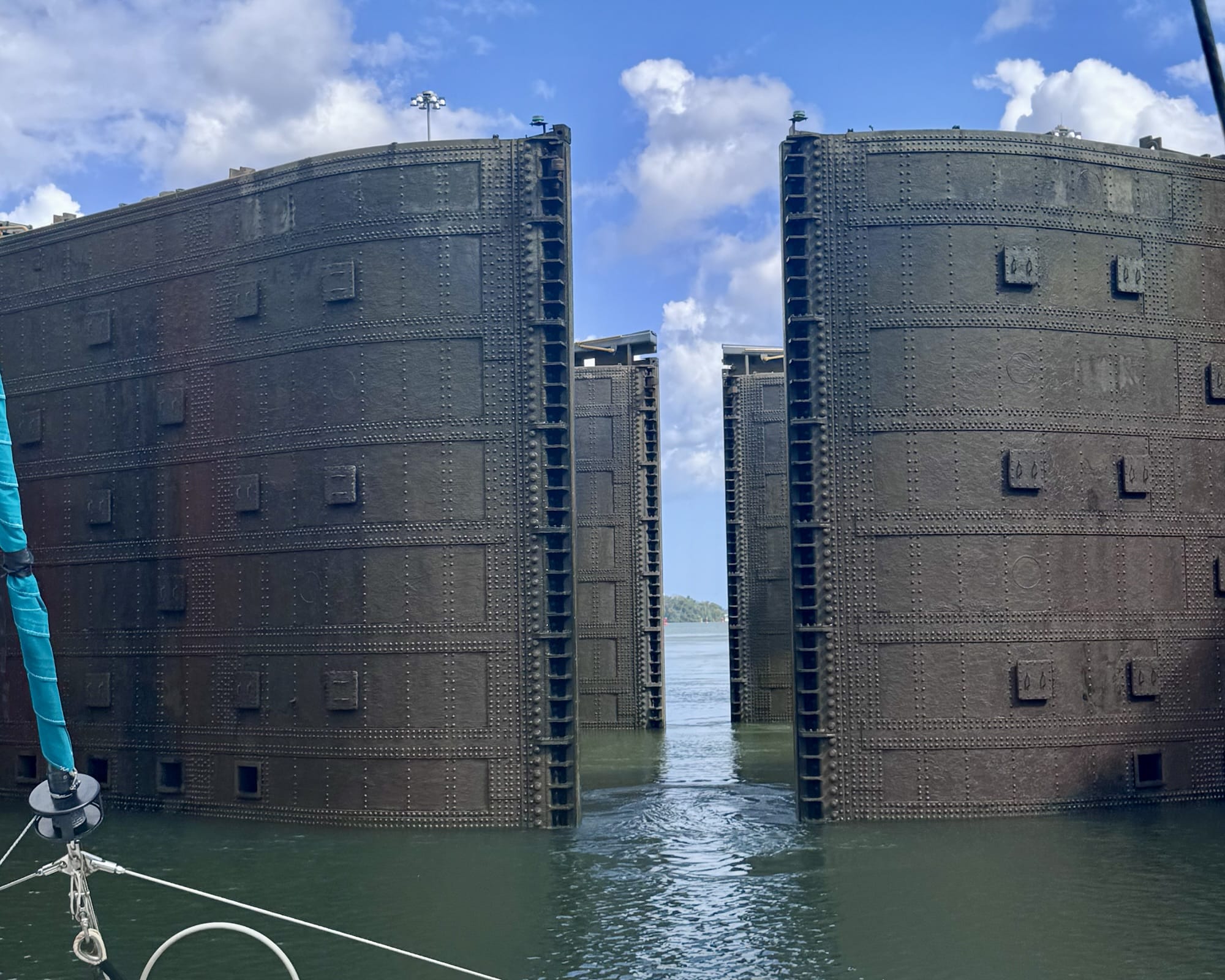
Pulling into a lock filled with water. Only the very tops of the gates are visible. We were behind a big ship when we uplocked the day before. For downlocking, rafted small boats go in first with the big vessels behind us.
After the Pedro Miguel locks, we motored a mile or so to the last two locks, at Miraflores.
Staff ashore throw messenger lines to us for retrieval of mooring lines. The messenger lines have baseball-sized weighted monkey fists at the end. Sometimes the throws are wildly off target. Not this time.
Ready to throw messenger lines. These two guys managed to hit our Starlink dish on both throws. I’m not sure whether that was intentional, but if so their precision was impressive. Fortunately, the dish was unharmed under a protective case.
It’s a different process for bigger vessels. Canal staff row out in a dinghy to pass lines from shore. Human “handliners” handle the shore lines for little boats like ours. Locomotives on tracks handle lines for the big ships. It’s now mid afternoon on February 24 as we downlock to sea level. Tourists visiting the canal are watching and cheering. Friends and family back home watched the process on a live webcam.
A grandstand full of cheering fans adds to our anticipation of arriving at the Pacific. Our friend Patty provided these webcam screenshots. And finally, gates open to the Pacific Ocean!